

English



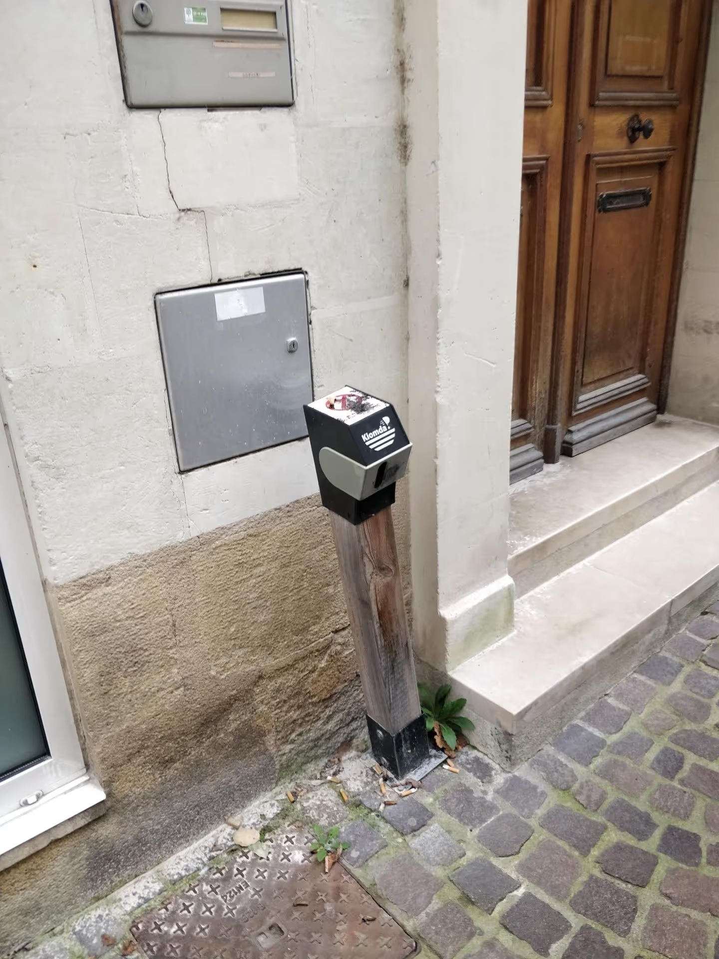
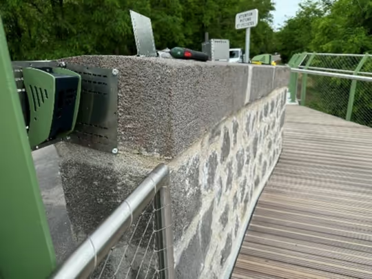
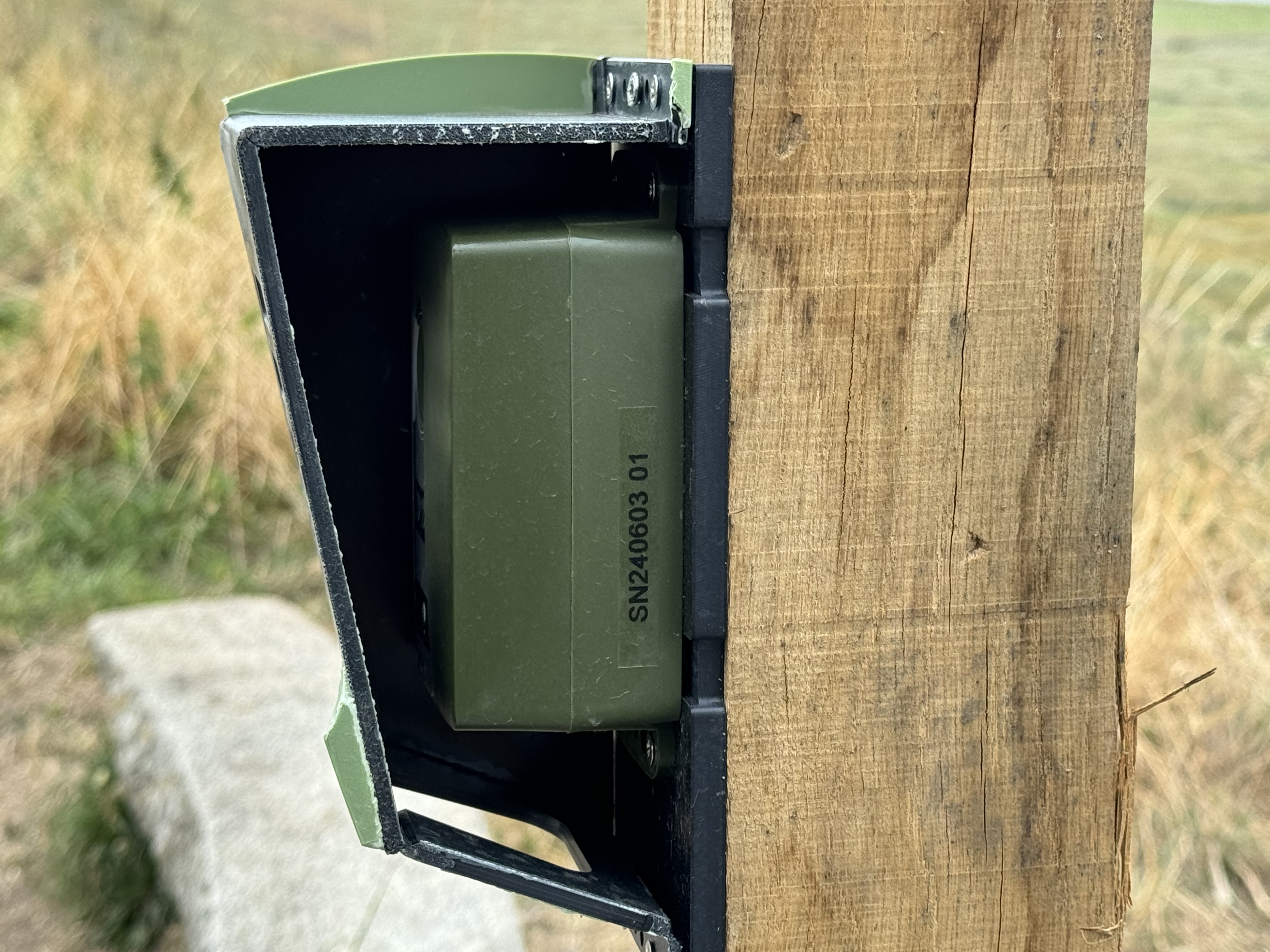
Since June 2024, the Saint-Brieuc Armor Agglomeration has been monitoring pedestrian and cyclist traffic at the Chaos du Gouët natural site using three Kiomda counters, including one modular unit that can be relocated as needed. Data is transmitted every 15 minutes and used internally to anticipate potential temporary closures if visitor numbers exceed a threshold deemed incompatible with the site's preservation.

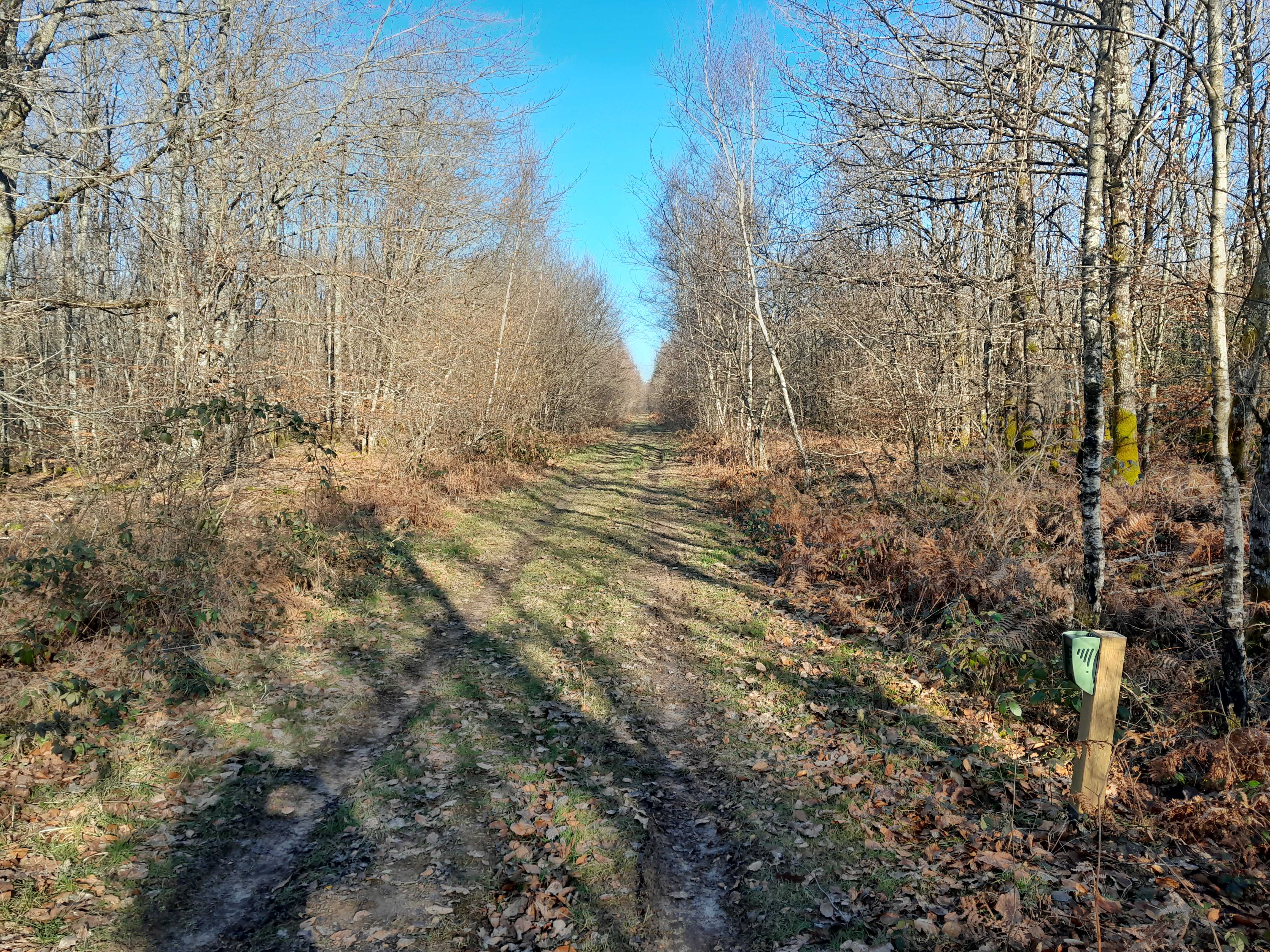
Nestled between Plaintel, Plaine-Haute, and Saint-Julien, the Chaos du Gouët site is organized around three access points with very different characteristics. At Le Tertre au Vin in Plaintel, the historic and most popular starting point, a parking area channels traffic arriving from the D700 expressway. In the middle of the trail, the Moulin de Saint-Méen sector in Plaine-Haute features the ruins of a 13th-century mill and wooden footbridges crossing the stream—essential passage points where hikers pause, making it an ideal spot for measuring pedestrian flow. Further downstream, the Sainte-Anne-du-Houlin sector captures walkers arriving from the north or completing the long loop.
This success has a downside: repeated trampling weakens the vegetation and riverbanks, to the point that the Saint-Brieuc Armor Agglomeration has had to reinforce certain sections and mark out a single route to prevent the formation of unofficial trails. The stated goal is threefold: to preserve the natural environment, ensure path safety—maintaining footbridges, wooden boardwalks, and slippery granite areas—and quantify traffic to adapt investments and site protection according to the season.
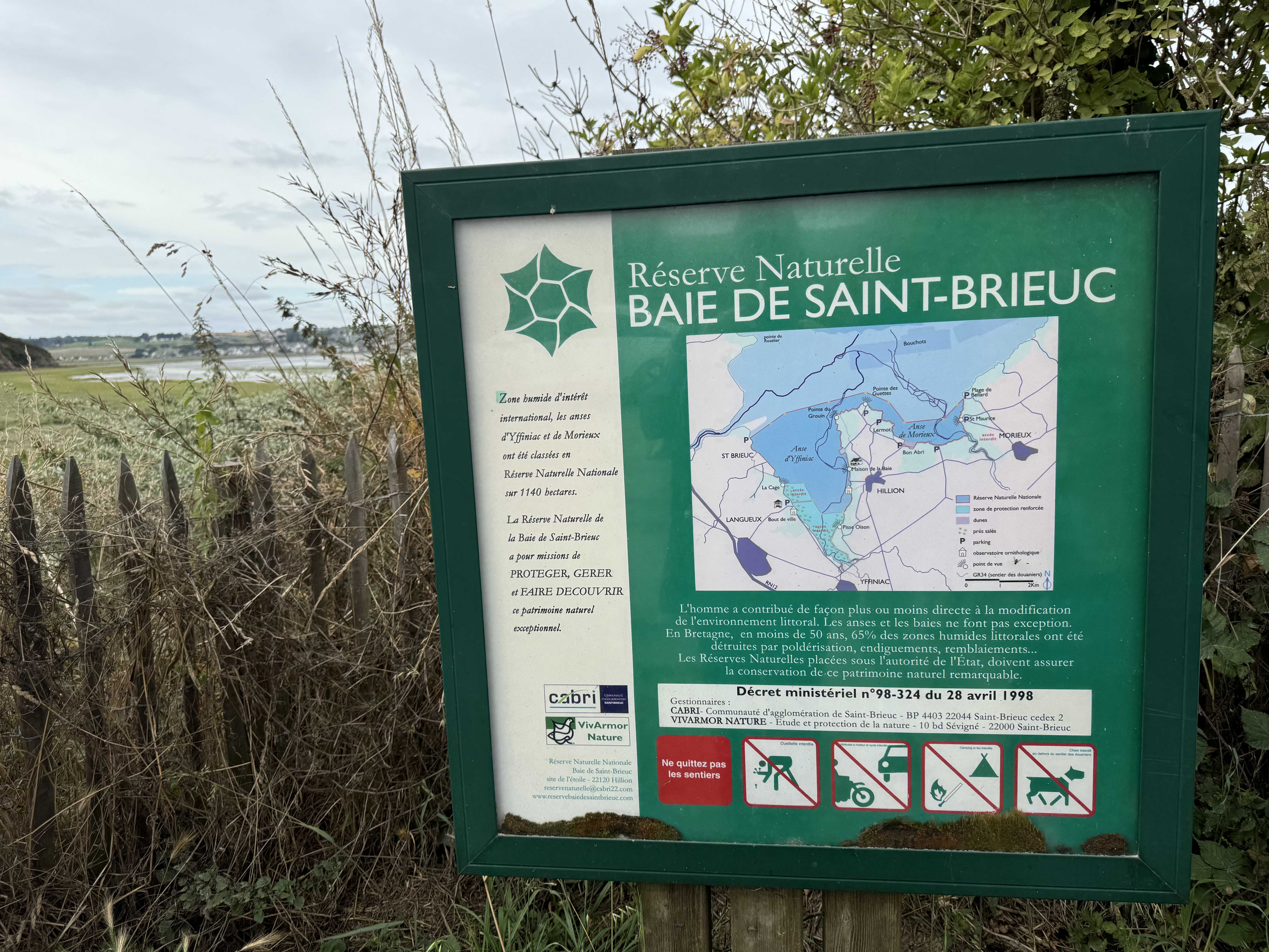
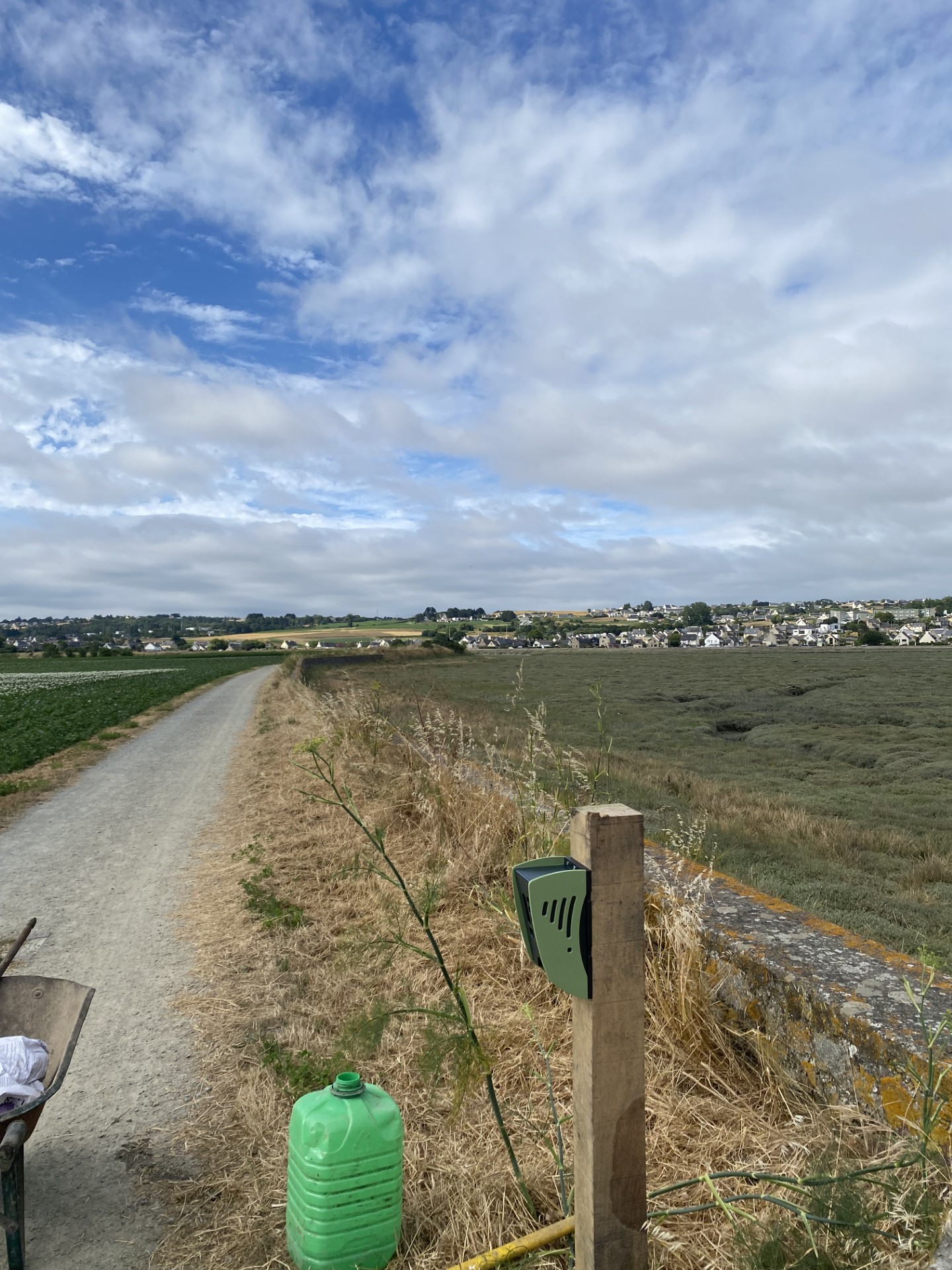
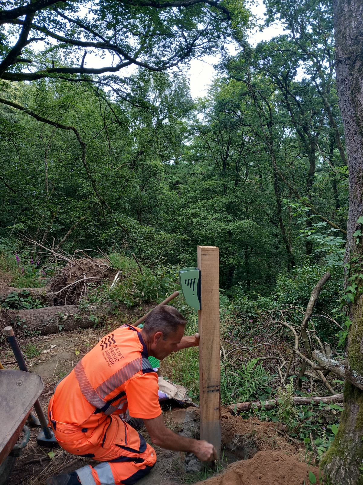
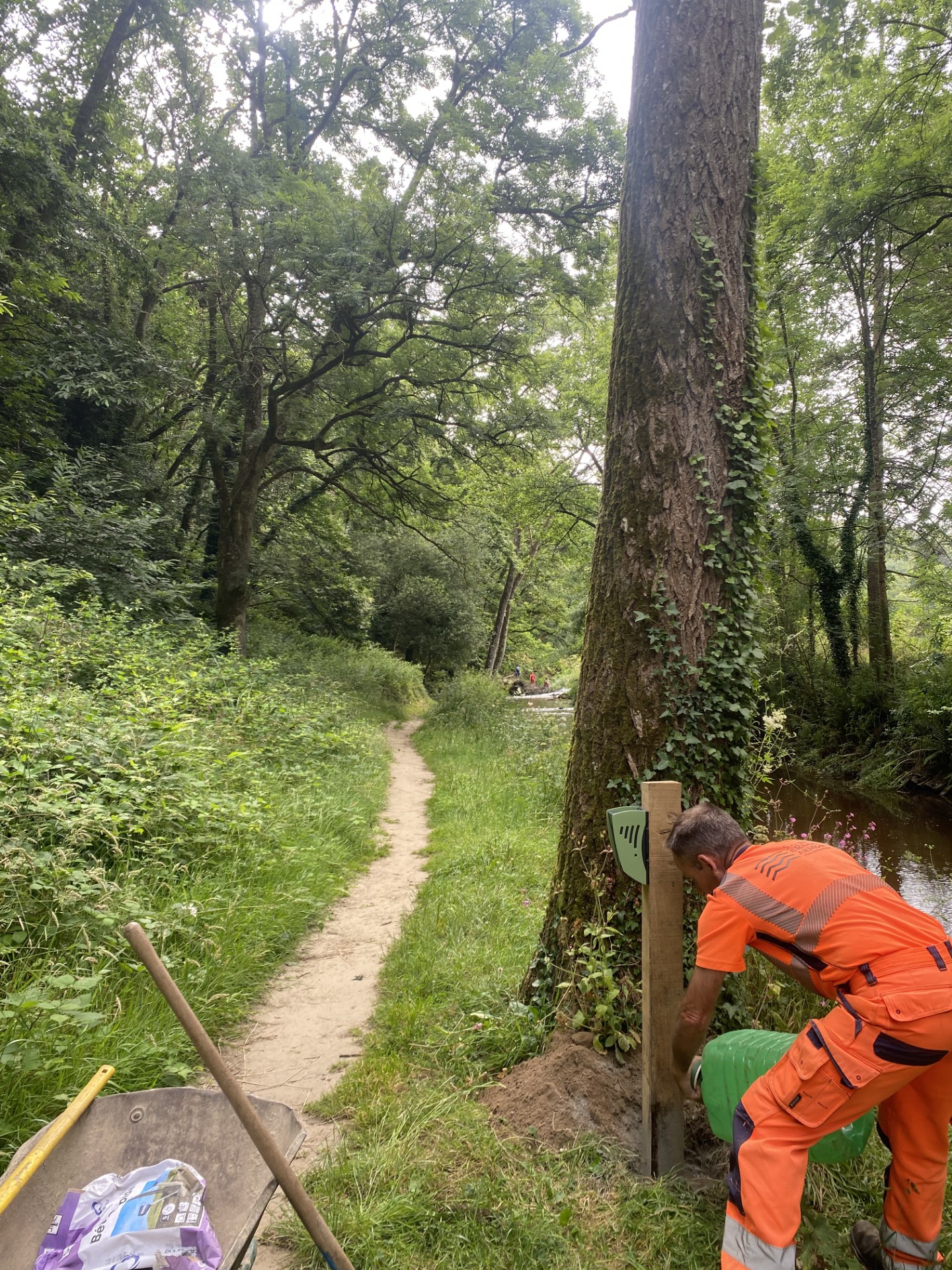
These preservation efforts were carried out in parallel with the installation of traffic counters, funded through a Cerema call for projects dedicated to sensitive natural sites. Since June 2024, two dual-purpose units (pedestrians and bikes) have been fixed at the site entrances in Plaintel and Plaine-Haute, complemented by a third modular counter that the agglomeration can move to other locations in the region—it is currently deployed at the Hillion site, which is less sensitive, to verify whether the facilities there meet public expectations.
The goal is not just to count: it is to establish an alert threshold beyond which preservation takes precedence over public access.
"If we exceed a certain threshold, if it goes beyond the 'limit of what is reasonable' (...) we might have to close temporarily to protect the site."
The local authority emphasizes that the counter "provides an initial benchmark, and then we monitor the trends."
The data does not leave the agglomeration's offices: it remains for internal use, shared with the relevant municipalities, with no external publication or communication. At the Hillion site, the objective is different: to verify usage by athletes—mountain bikers and walkers—to adjust facilities, rather than to detect an ecological risk. In both cases, the logic remains the same: to see if the circuits meet their respective needs before investing further.
"The collected data is used for environmental preservation and to study general traffic. To see if it works or not, and also to see if the circuits are being used by athletes (...)."
Regarding service, the local authority reports no particular weaknesses. They mention "good follow-up (contact if there's an issue, battery changes are fine, and replacements are quick)" and a price-to-quality ratio they deem more advantageous than other providers on the market—two criteria that carry weight for a tool intended to remain in place for several years on a site that is difficult to access, with wooden footbridges and unstable banks.
When asked for a recommendation rating, the local authority replies bluntly: "10, no problem." No expansion to other sites in the agglomeration is currently under study—"Not at all, I don't have a plan for that," they clarify—but the principle remains established: a mobile counter, movable as needed, to arbitrate between public access and the preservation of a sensitive natural environment.



.jpg)

.svg)