To measure and analyze the flow of pedestrians, cyclists, and vehicles in public spaces, a wide range of flow counting technologies is now available.
Each comes with its own advantages and limitations, and is suited to specific use cases.
This article provides a comprehensive overview of the main solutions on the market, supported by a comparative table and a visual diagram to help guide your choice.

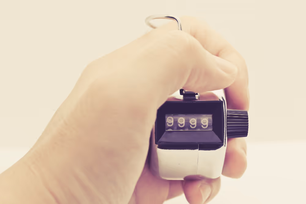
Manual counting relies on agents who record the passages, using a connected application or a mechanical counter.Record the passages by hand, or using a digital application (the application Clicker is free), or with a mechanical counter of the “clicker” type.
This counting is carried out in real time from a fixed point, and the data is then used to produce attendance statistics.It is a One-time solution used during short studies, events, or to validate hypotheses before deploying automatic sensors.


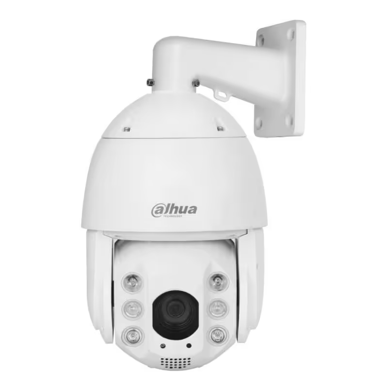
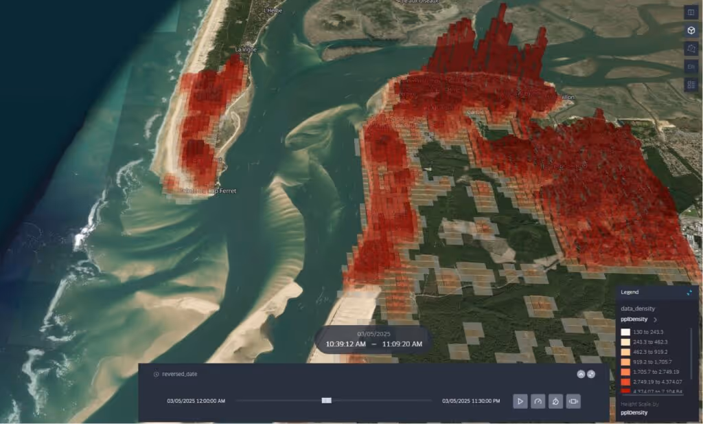
Smart cameras make it possible to count and analyze flows in real time based on video. They detect, differentiate and follow users (pedestrians, bicycles, vehicles) using image recognition algorithms or 3D sensors. Some players who offer these devices: Eco-Counter, Vivacity Labs, Axis, Allgovision, Flowbird, Cyclomedia, Bosch, Bosch, Genetec.
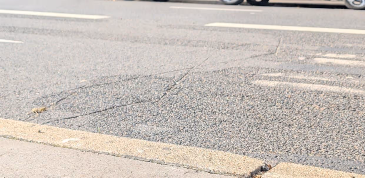
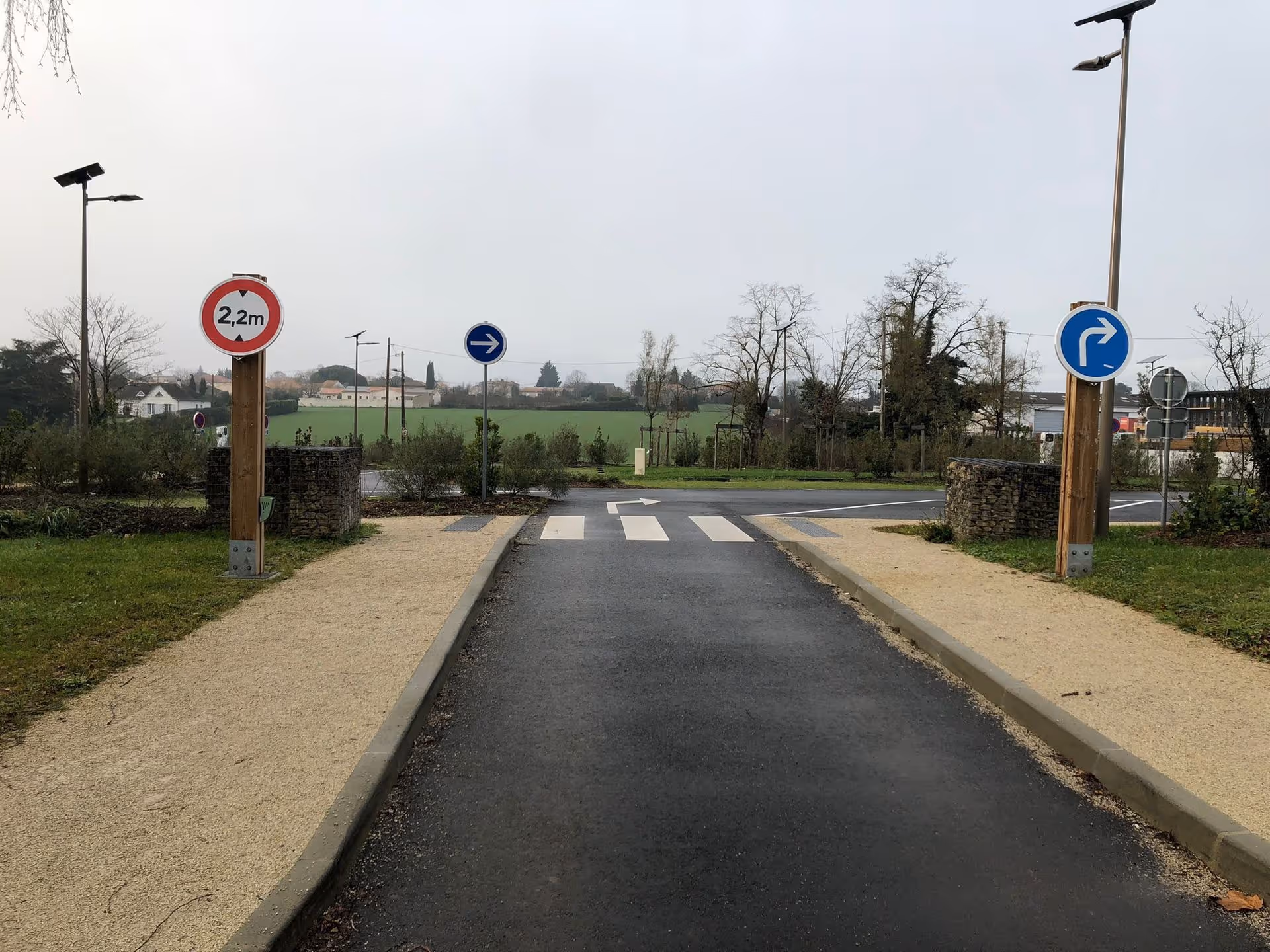
Inductive loops, also called electromagnetic loops, are sensors buried in the ground that make it possible to detect the presence of vehicles based on the variation in the magnetic field generated by metal masses.
The system includes: a wire loop buried under the roadway (formed by several turns), a connected electronic detector, which continuously analyzes inductance variations, a management system (barrier, fire, database...) to which information is transmitted via a dry contact. The shape, depth, number of turns and quality of the wire impact the reliability and the detection range.
The sensors detect the signals emitted by the phones (passively or via apps).passive detection of Wi-Fi or Bluetooth signals, using sensors that anonymously identify nearby devices; and the analysis of GPS tracks collected by partner mobile applications via integrated SDKs. Some platforms combine these methods to improve accuracy.
This data makes it possible to measure unique visitors, the length of presence or even the typical routes. Several providers offer these services, such as OutdoorVision, Huq, Tamoco, or even urban furniture players such as JCDecaux or ClearChannel.
Mobile telephone operators (Orange, SFR, Bouygues, Telefónica...) collect technical data from their network (relay antennas, SIM cards) in real time: location data, mobility between antennas, mobility between antennas, time of presence and density. This data is aggregated, anonymized and analyzed, to offer a service to the tourism, retail, etc. sector.
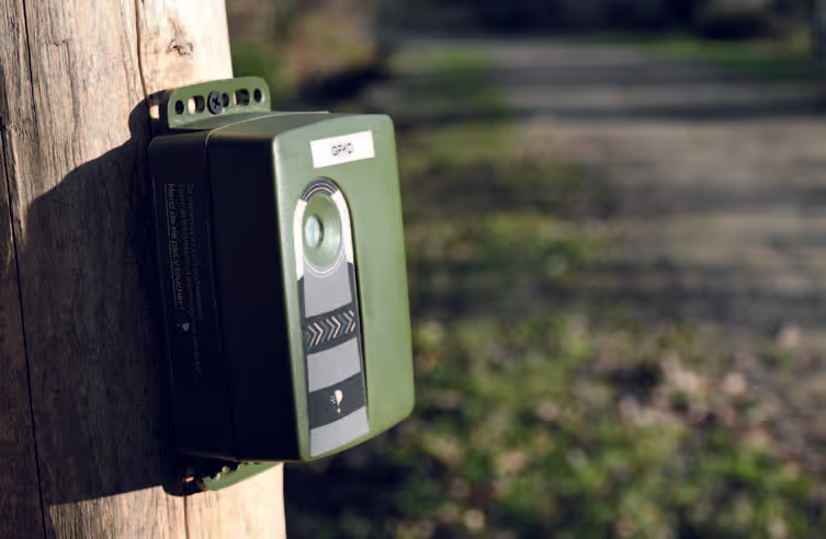
The Verdilo sensor is based on a patented stereoscopic thermal detection technology, combining a double infrared lens and an embedded algorithm. It makes it possible to detect and differentiate pedestrians, cyclists and vehicles by analyzing their thermal signature and speed of movement, without image capture or video processing.
Cette solution a été développée et brevetée par Kiomda pour répondre à des contraintes spécifiques de terrain : absence d’alimentation, respect de la vie privée, conditions climatiques difficiles, ou impossibilité de poser des capteurs au sol.
The table below summarizes the key characteristics of the main flow counting technologies available on the market. It makes it possible to identify at a glance the advantages, limitations, expected precision and typical use cases of each solution. This tool aims to help you choose the technology most suited to your field context, according to the objectives pursued (punctual analysis, long-term monitoring, real-time management, etc.).

Each territory, each project and each challenge require a different response. Here are some criteria to guide your choice:
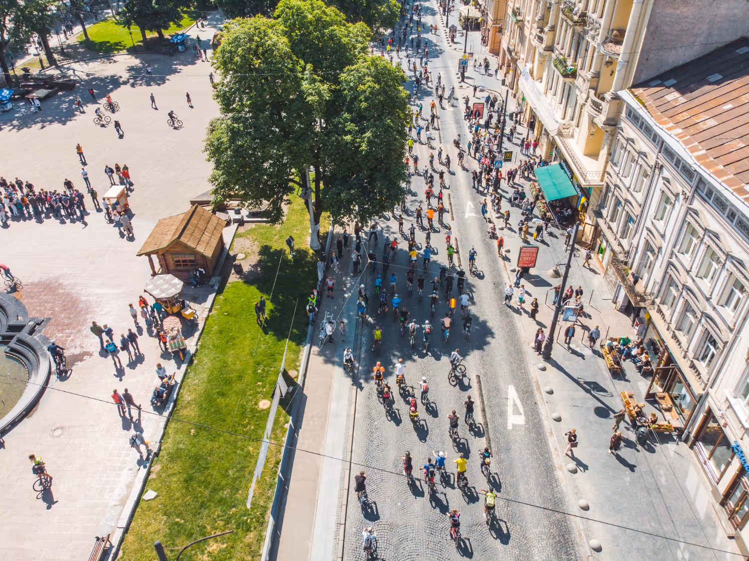
Mobility and Urbanism : Study of soft mobility and bicycle infrastructures (paths, greenways), management of pedestrian areas and city centers, monitoring of the use of roads and car parks, assistance in the choice of public investments and urban planning (new transport lines, developments), adaptation of network operations (public transport, roads), and real-time supervision of public space (new transport lines, developments), and adaptation of the functioning of networks (public transport, roads), and real-time supervision of public space
Natural Spaces and Tourism: Preservation of sensitive natural areas, management of peak attendance, measurement of the economic benefits of tourism, monitoring of tourist and cultural sites. Assistance in flow management to limit the impact on local fauna and flora
Events and Public Buildings: Management of traffic in high-traffic places (festivals, markets, concerts), libraries, museums, universities, shops (festivals, markets).
Each territory, each project and each challenge require a different response. To choose the most suitable counting system, it is crucial to consider several aspects:
Do you simply want to count the passages, or do you need more detailed data (time spent, trends, busy areas)?
Is it for decision support, real-time management, communication or knowledge of the territory?
And the need to distinguish between them (pedestrians, bicycles, cars).
Is it a one-off study or a long-term follow-up? Purchase of sensors, rental, access to application solutions, or carrying out a study?
Geographic granularity (at the address, at the street, at the neighborhood) and temporal granularity (hourly, daily, monthly).
Jobs, private life? Also the robustness of the device in the face of environmental conditions (humidity, cold, etc.)


.svg)


.avif)