

English



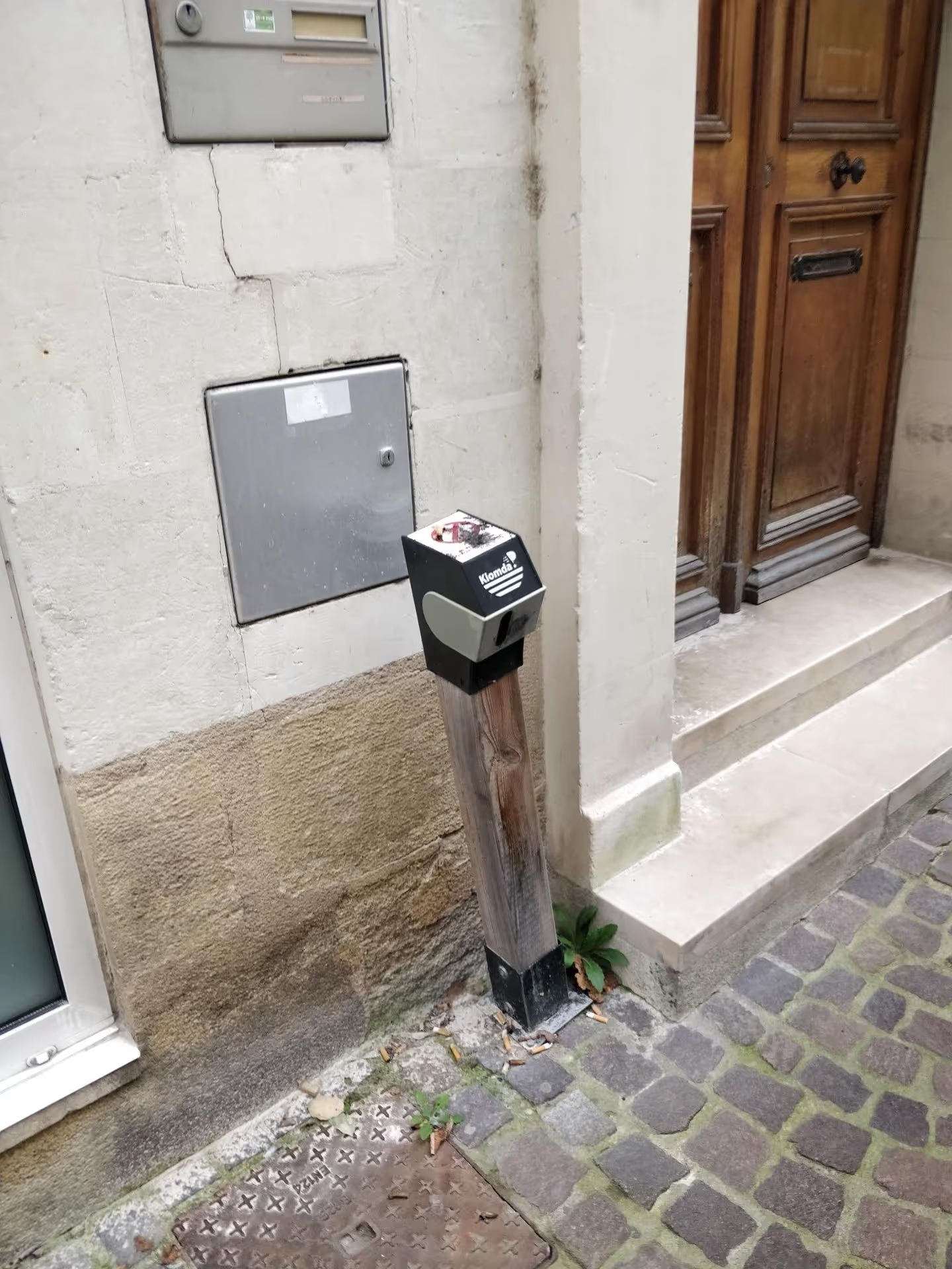
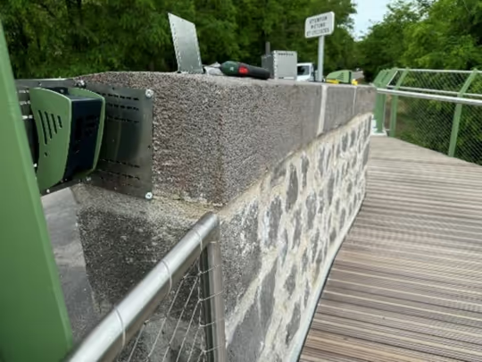
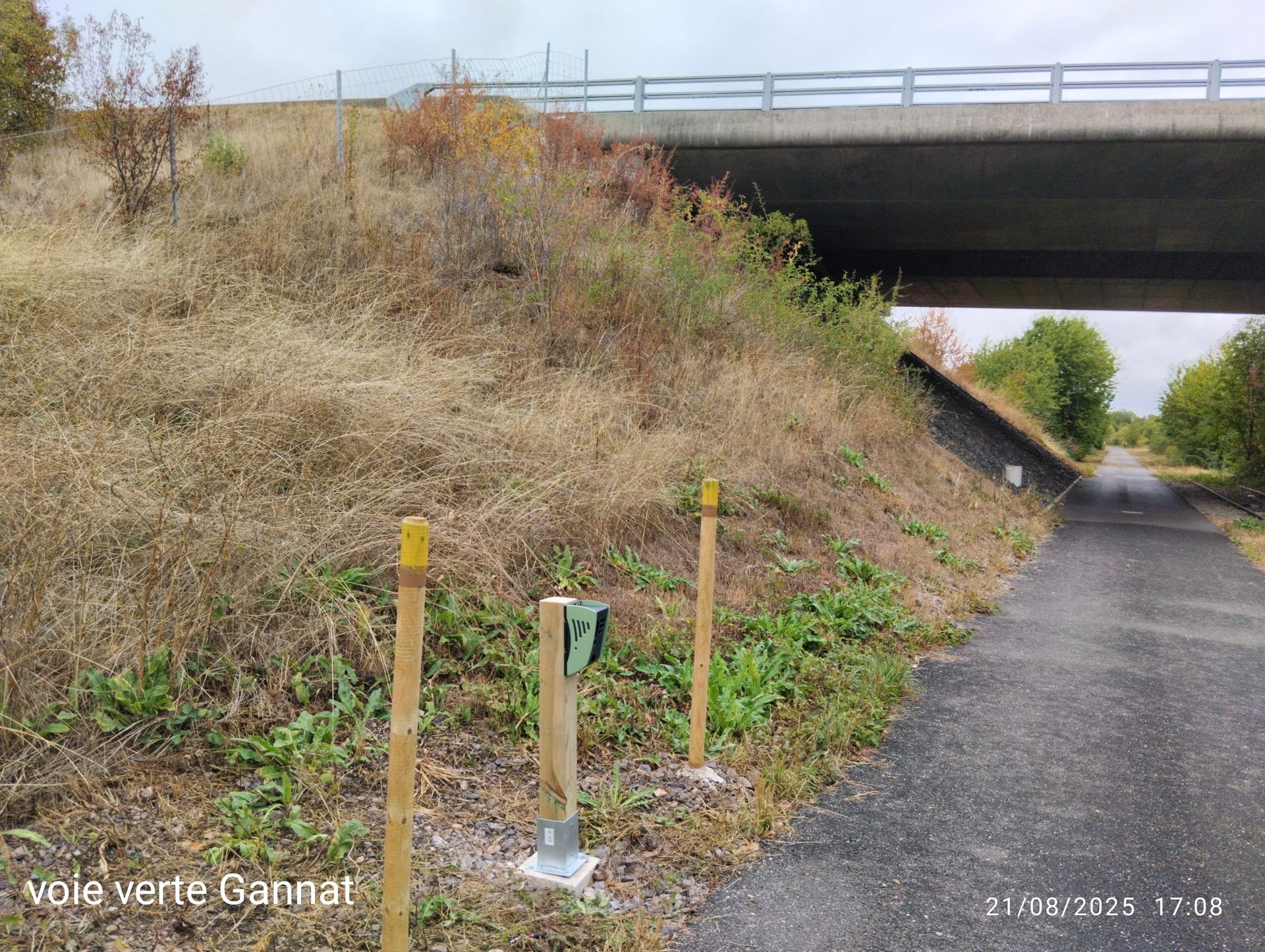
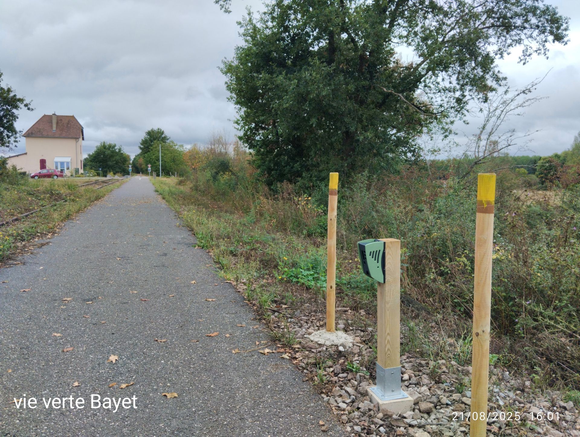
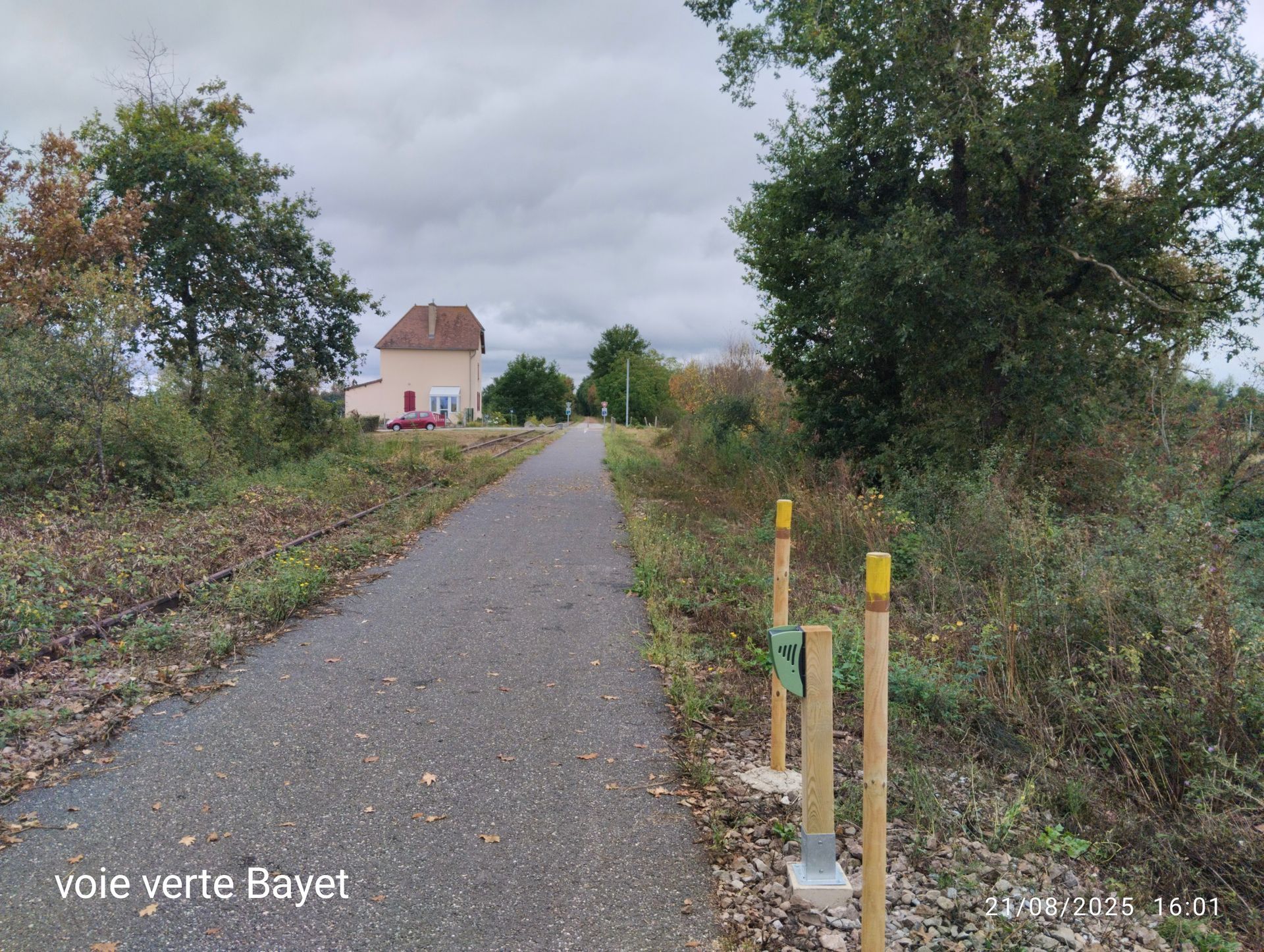
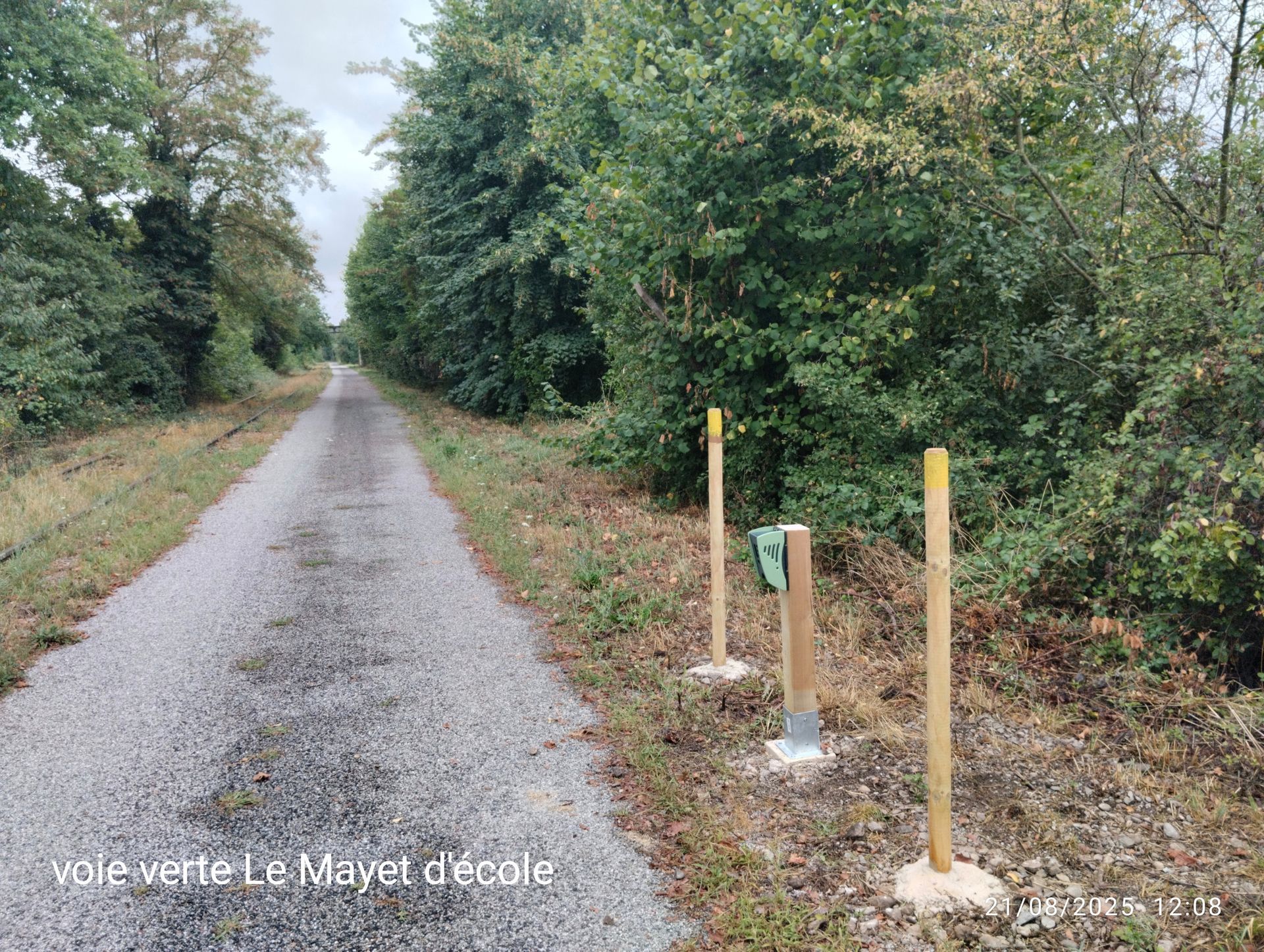
Since 2021, the Saint-Pourçain Sioule Limagne Community of Communes has been monitoring pedestrian and cyclist traffic on the Coteau des Chapelles, a sensitive natural area in Gannat, and along the Val de Sioule Greenway, using five Kiomda counters. The data, transmitted via the LTE-M network, supports both the management of the natural site and funding applications for the greenway.

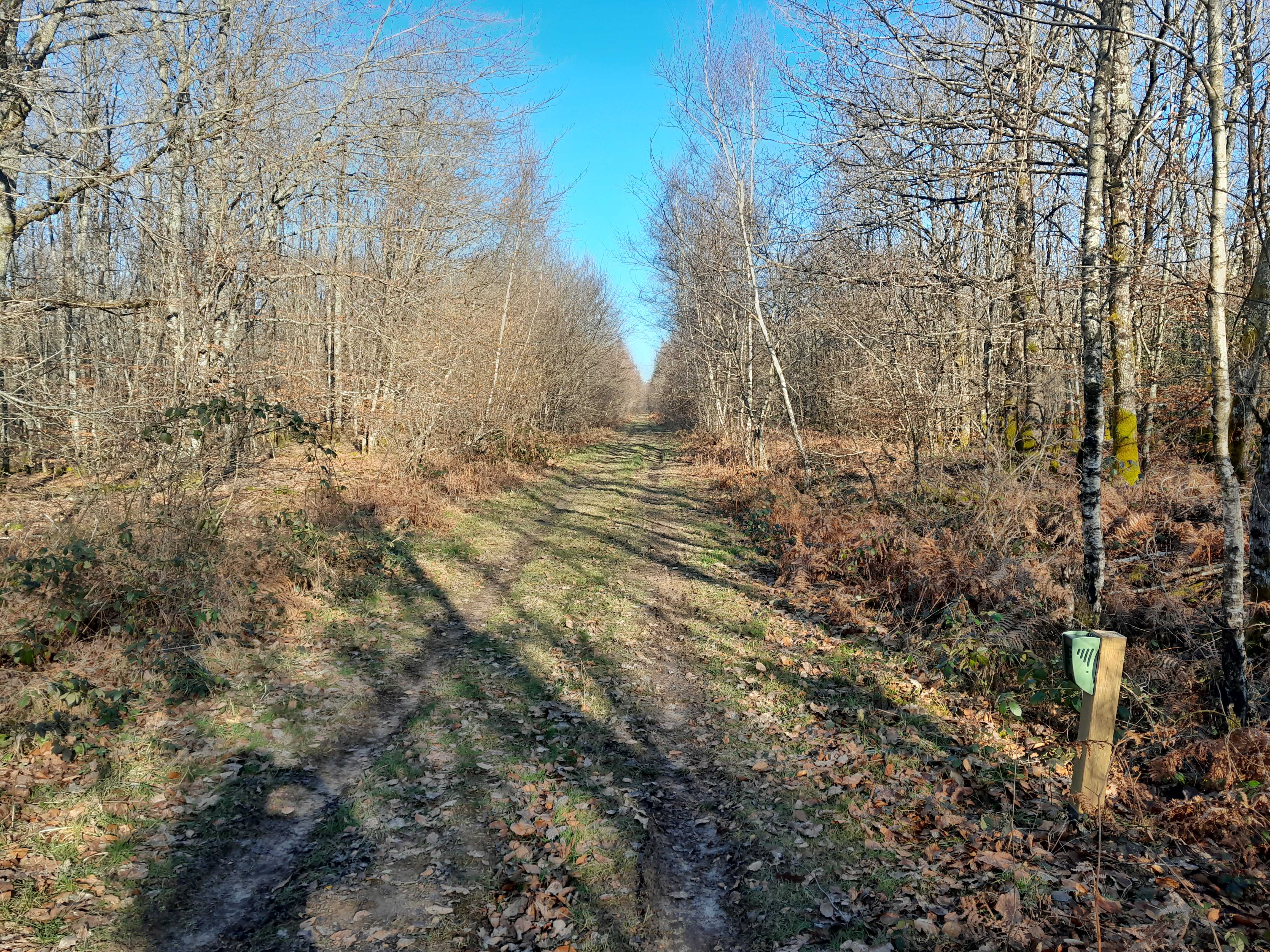
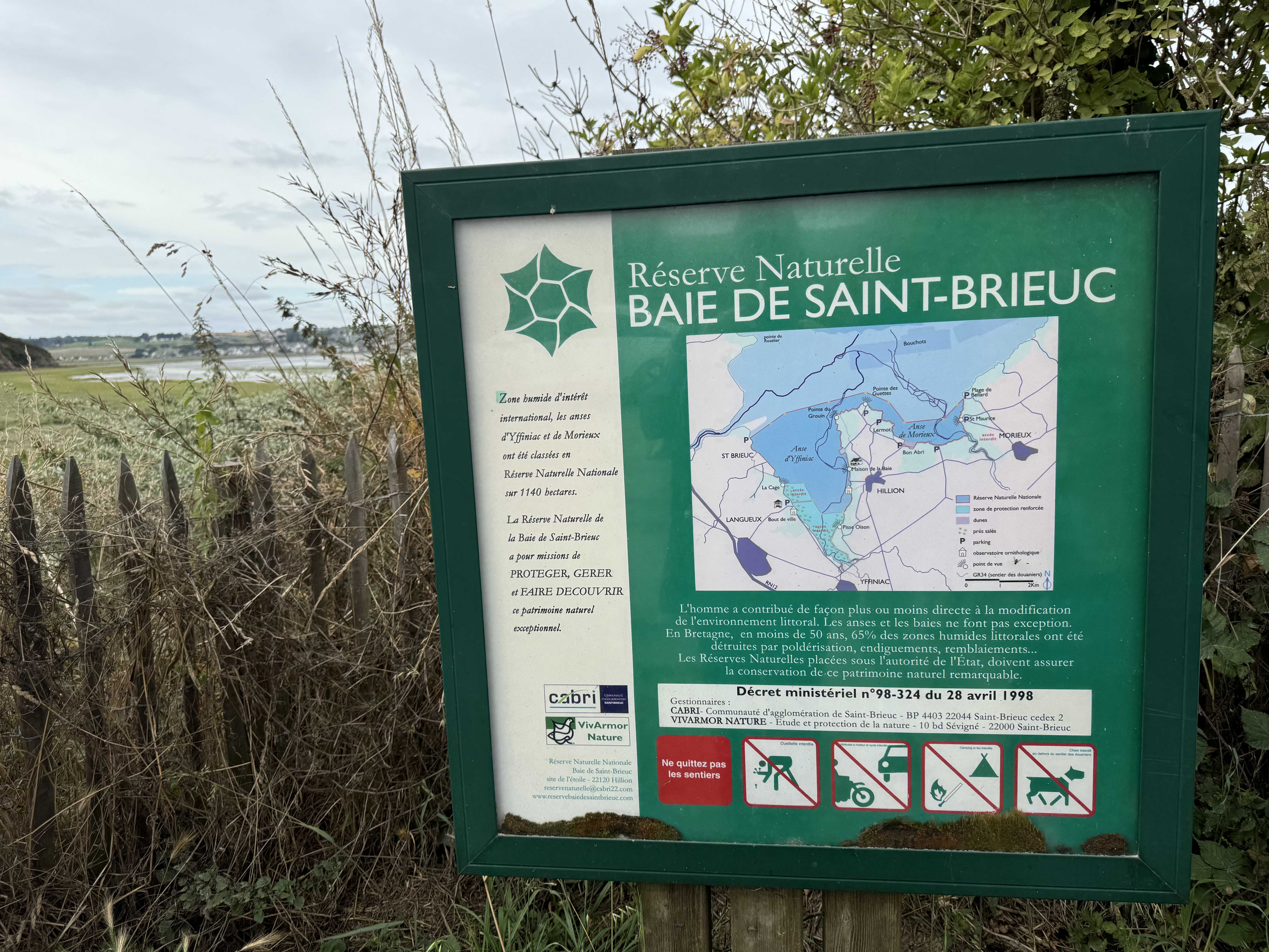
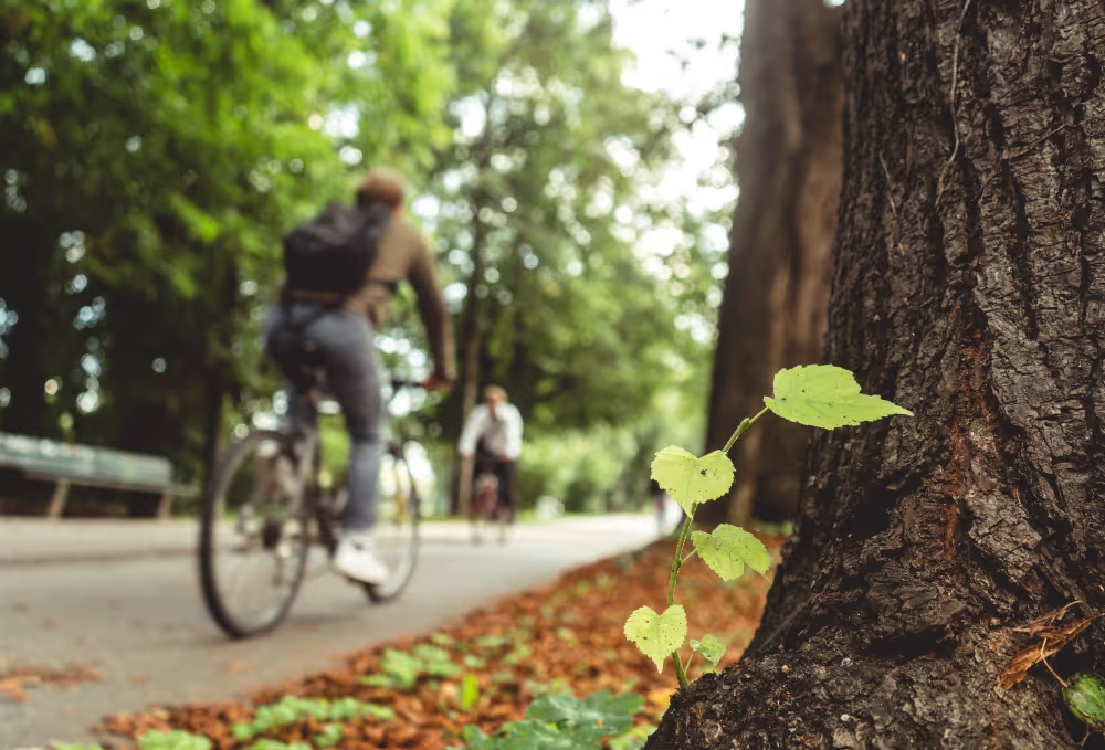
The Coteau des Chapelles, classified as a Sensitive Natural Area and managed in partnership with the Allier Conservatory of Natural Spaces, is a limestone hillside featuring dry grasslands that are rare in France: up to nine species of wild orchids have been identified there, alongside more than 350 plant species. Its maintenance combines light mechanical intervention with extensive grazing by local farmers to prevent the forest from encroaching on the grasslands. The Val de Sioule Greenway follows the route of a former railway line commissioned in 1932, which is now entirely reserved for non-motorized travel—pedestrians, cyclists, rollerbladers, and strollers—stretching approximately 26 kilometers between Gannat and, eventually, Saint-Pourçain-sur-Sioule. The first operational section, a 17-kilometer stretch connecting Gannat to Bayet via Saulzet, Le Mayet-d'École, and Broût-Vernet, serves both leisure and tourism as well as daily commutes.
These two sites do not have much in common, other than the difficulty of objectively measuring traffic without installing extensive ground-based infrastructure. This is what convinced the Saint-Pourçain Sioule Limagne Community of Communes to install an initial counter in 2021, and subsequently expand the system to five units: two pedestrian-only counters on the Coteau des Chapelles in Gannat, and three dual pedestrian-cyclist counters along the greenway. The first unit was purchased in 2021 by a colleague, who then advised the local authority on this second set of equipment.
"What worked well for the greenway was that it counted both pedestrians and cyclists. It didn't require any ground-level installation because it works solely through cellular sensing. That is one of the equipment's key advantages."
In the field, the equipment has faced challenges: one of the units was stolen. "We had an incident of theft/destruction. It's a shame, but it's not your fault," the local authority acknowledges, noting that this does not call the solution itself into question.
The data, updated every 15 minutes, is primarily used internally before being included in activity reports or used to support funding applications and institutional communications regarding the greenway. On the Coteau des Chapelles, the data helps calibrate site improvements based on environmental sensitivity and highlights visitor numbers; on the greenway, it serves to demonstrate the route's value, understand actual usage, and justify the investments made.
However, the local authority acknowledges a limitation: measurement becomes relevant and cost-effective primarily on closed, linear routes, whereas it would remain impractical on open trails.
"On hiking trails, it's hard to showcase traffic numbers. It would be too expensive. On closed sites like the greenway, we can do it."
More broadly, they also note a barrier for other local authorities: "There is a cost involved in obtaining data, and not all authorities are prepared to pay it."
On a scale of 1 to 10, the local authority gives the solution an 8. No new sites have been equipped to date, but they are working with the Allier Department, which is in charge of the outdoor activities network and is already familiar with the solution—a potential bridge for further deployments across the region.



.jpg)

.svg)