Measuring attendance is not “counting to count.” It means giving teams and elected officials concrete leverage to act: regulate overcrowding, prove the usefulness of equipment, pilot a soft mobility policy, or promote a site with partners. As projects become more constrained (budgets, grants, consultation), objectification becomes a decision-making tool.
The document recalls that counting is often underexploited because of recurring obstacles: the fear of work (digging, wiring), perceived complexity, the idea of too high a cost, RGPD sensitivity (fear of “filming people”) and the feeling that the use would be limited to a few contexts.
Attendance data becomes a lever for public action and management, regardless of the context. The white paper illustrates in particular how figures make it possible to: preserve a fragile natural site (identify peaks and sensitive areas), justify an investment or a grant, adjust services (cleanliness, safety, maintenance), pilot a soft mobility strategy, assess the attractiveness of a development, assess the attractiveness of a development, or even anticipate flows related to an event or seasonality.
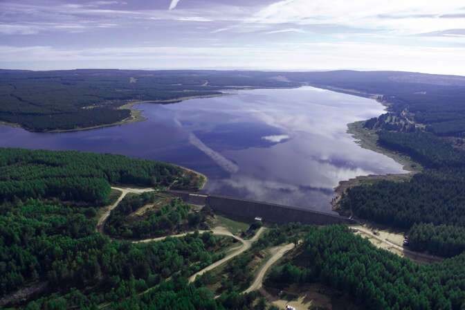
Examples of uses are cited (in particular Pays de Remiremont and its Valleys, Vézère Valley, Val Cenis, Val d'Ille-Aubigné, Lac de Mande) to illustrate the diversity of contexts where measurement is used to decide.
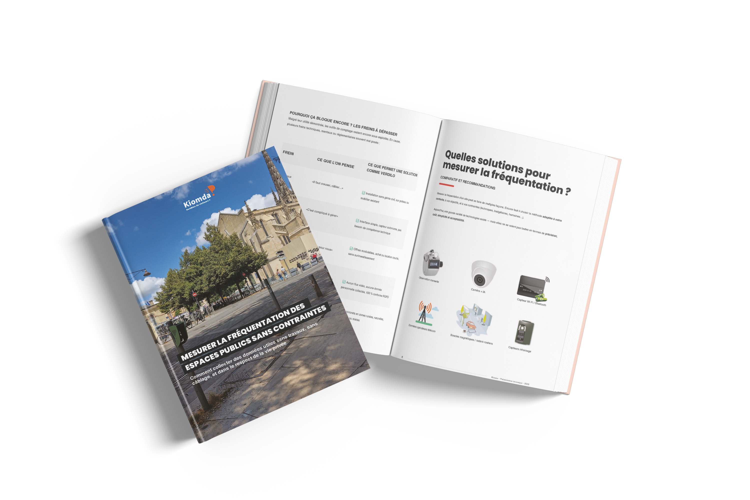
Measuring attendance can be based on several technologies, but they are not equal in terms of accuracy, cost, ease of deployment and acceptability (including privacy constraints). The white paper offers a comparative overview of the main approaches: manual observation, camera + AI, Wi-Fi/Bluetooth sensors, telecom operator data, magnetic loops/road radars, and thermal sensors.
In particular, the document specifies typical arbitrations:
The white paper insists on an important point: setting up a counting system is not a complex undertaking, provided the need is clarified and some technical criteria are known. It offers a “proven” checklist structured in steps.
Before any installation, it is a question of precisely naming the objective (e.g. objectifying a development, monitoring overcrowding, sizing a service, justifying a subsidy), defining the sites (park entrance, pedestrian street, coastal path, coastal path, coastal path, market, market area, greenway, etc.), the period (all year round, season, event), and the expected flows (pedestrians, bicycles, vehicles, coastal path, market, market area, greenway...), the period (all year round, season, event), and the expected flows (pedestrians, bicycles, vehicles, mixed flows, distinction of meaning).
The document proposes simple relationships between needs and solutions (e.g. permanent monitoring vs seasonal need, sensitive area, isolated area without a network).
The white paper recalls that there is no need to do civil engineering: sensors can be installed in 30 to 60 minutes on a mast, tree or existing furniture, without a power supply or trench. It recommends testing the detection angle during installation, positioning it at a sufficient height to avoid visual obstacles, and protecting the sensor in risk areas.
When the device is connected, the data is transmitted automatically (twice a day in the example mentioned) and can be consulted via an online interface: dashboards, time filters, PDF/Excel export and map visualization. Rapid training (often at a distance) is indicated as sufficient to make teams autonomous.
The white paper recommends integrating monitoring into routine operations (regular analysis points, presentation to elected officers/partners, integration into activity reports and funding files, communication materials). It offers a “launch kit” summary (identify the sites, choose the solution, install, follow on the platform, operate).
The conclusion focuses on the following idea: attendance data is no longer restricted to big cities or sites under video surveillance. A fine and usable measure can now be obtained with a device that is accessible, simple to deploy, respectful of privacy, and without work.