As part of its “The Battle of Activities 2023—2027” strategy, Oise Tourisme has decided to take a step forward by deploying a structured system for counting pedestrian and cycling flows on its main routes.
“The measurement of bicycle and pedestrian flows is now a strategic lever for territories”
But quickly, the project went beyond hardware alone. It's less about installing sensors and more about building a method.
“A technical project, but above all a method project”
Even before comparing technologies, a central question arises: what is the data really going to be used for? Is it a question of producing an annual report, observing changes over time, measuring the impact of a promotional campaign, or even distinguishing the types of users and their practices?
“What is the data collected going to be really used for? ”
These trade-offs determine the entire project, from the choice of sensors to their implementation in the field.
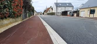
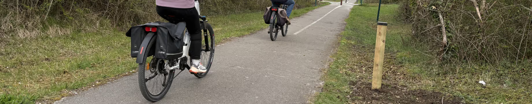
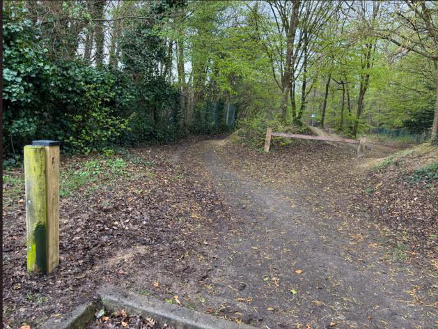
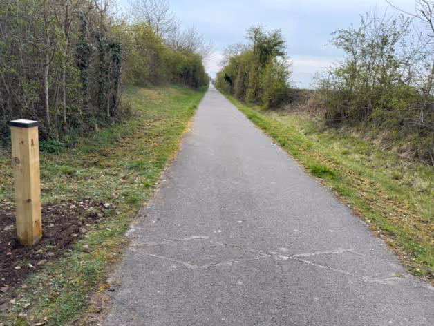
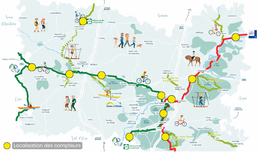
It is in this logic that Oise Tourism has structured its system. Eleven counting points have been deployed on major routes — EuroVelo3, Avenue Verte London-Paris and the Memory Cycle Route — with particular attention paid to their location.
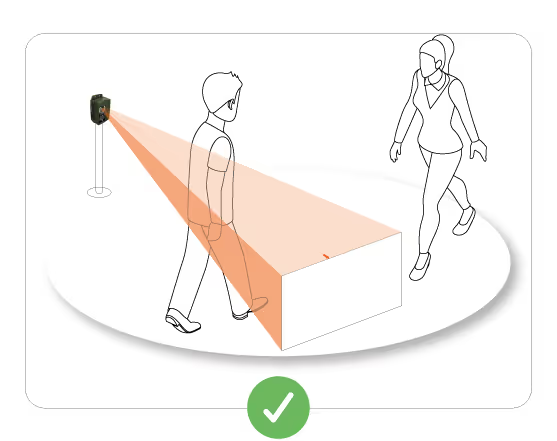
The aim was not to measure “everything”, but to measure what really matters, in this case tourist flows by bicycle.
“A meter never measures 'everything'. It measures what is happening in the precise place where it is installed.”
This choice of location, which is often underestimated, proved decisive. By focusing on rural or peri-urban areas, the agency sought to capture specific uses, by limiting the biases associated with daily travel.
This approach recalls a simple but structuring reality: the terrain imposes its constraints, and it is up to technology to adapt to them.
“The terrain dictates the technology, never the other way around”
In this context, the choice of an autonomous solution that is not very intrusive and adapted to natural environments was a prerequisite for deploying a coherent system at the scale of the territory.
The solution deployed now makes it possible to collect data continuously, with automated feedback and a capacity for fine analysis. This data feeds not only internal management, but also wider devices, such as the national Bicycle & Walk observatory or European tourism promotion programs.
Progressively, they are becoming a central decision-making tool. They make it possible to evaluate the actions carried out, to better understand the uses, to value the economic benefits and, above all, to guide future investments on an objective basis.
This feedback also highlights another issue that is often underestimated: that of analysis tools. Platforms that are too complex or oversized can hinder the appropriation of data and increase costs.
On the other hand, tools adapted to real needs allow for more efficient exploitation, in addition to qualitative approaches in the field.
In the end, the project led by Oise Tourism recalls an obvious fact that is often overlooked: the choice of a counting device is never just a question of technology. It involves a vision, objectives, constraints, and an ability to transform data into decisions.
“The right choice always depends on the territory, the uses and the objectives pursued”
In this context, data is no longer a simple indicator. It is becoming a strategic lever, at the heart of the development of soft mobility and the tourist valorization of territories.


.svg)