How to monitor usage on a hiking trail or greenway?

Choosing the right locations, ensuring the reliability of data, preserving the environment.

compter frequentation

Introduction

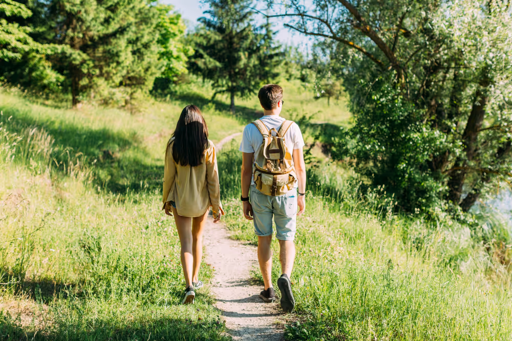
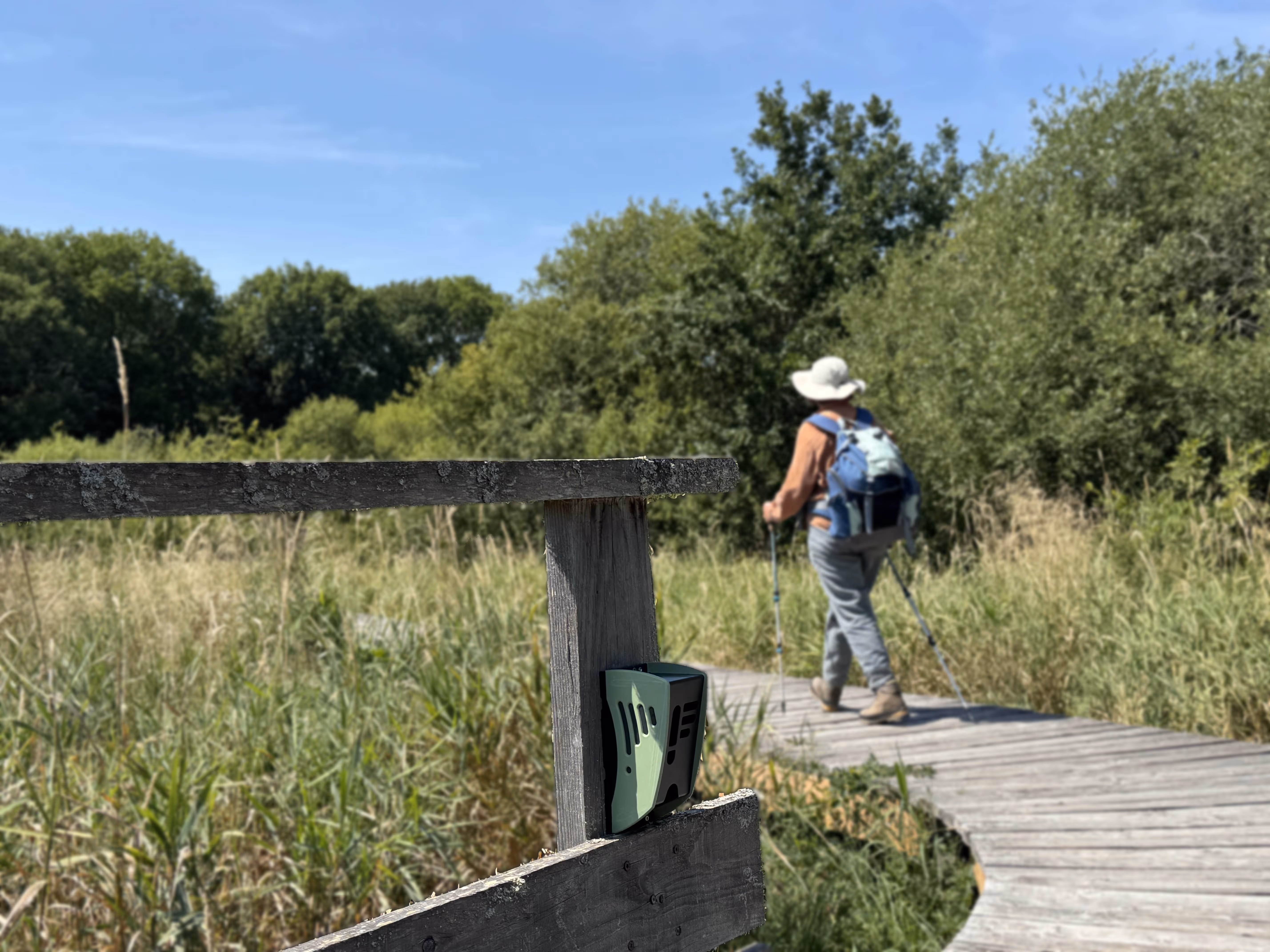
To equip a hiking trail or a greenway with an autonomous counting system makes it possible to objectify uses, to inform development decisions and to promote investment efforts. But these sites — often natural, extensive, poorly connected — present specific constraints. Where should the sensors be positioned? How do you ensure data accuracy without disrupting the environment? What equipment should you choose?

At Kiomda, we have deployed dozens of devices in various contexts: mountain, valley, seaside, multi-use greenways... Here is our guide to effectively instrument a trail, whether you are a community, a natural park, a mixed union or a site manager.

1. Why rely on a trail or a greenway?

  • Measuring Real Uses : walking, cycling, soft mobility, trips between home and work...
  • Adjust maintenance plans : frequency, seasonality, pressure on developments.
  • Preserving sensitive environments : detect overcrowding or a change in practice.
  • Respond to funders : AVELO3, State-Region Plan Contracts, Europe...
  • Managing Tourism Promotion : economic impact, educational potential, network of itineraries.

2. Where to install a meter?

👉 Choose crossing points Filtering agents

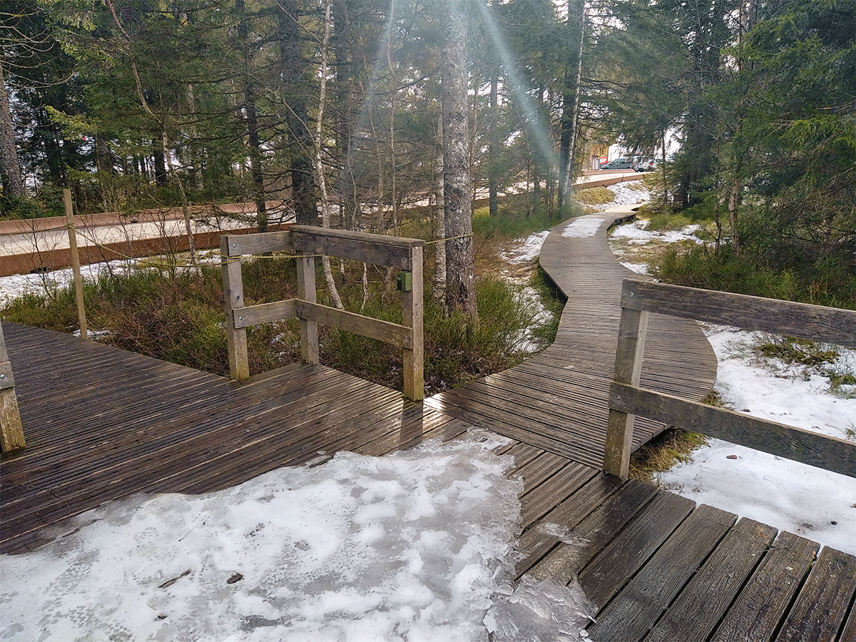
The aim is to Reduce the risks of multiple counting or uncounted people. A natural or landscaped corridor is ideal:

  • Entering or Leaving the Trail
  • Passage over a footbridge, a pontoon, a natural barrier
  • Intersection between two uses (greenway and road, parking access...)

👉 Prefer locations stable and accessible

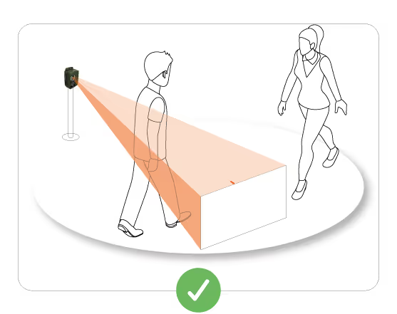
The sensor must be able to be:

  • Securely fixed To a support (pole, railing, tree, low wall)
  • Accessible for maintenance, without obstructing traffic
  • Oriented Correctly (Follow the Flow, Without Disturbing Thermal Background)

👉 Respect Them Ecological Issues

Avoid areas:

  • highly ecological sensitivity (proximity to a pond, dune, nesting area...)
  • exposed to vandalism or incidents (wild mountain biking, sticks, horses...)

3. What equipment should I use?

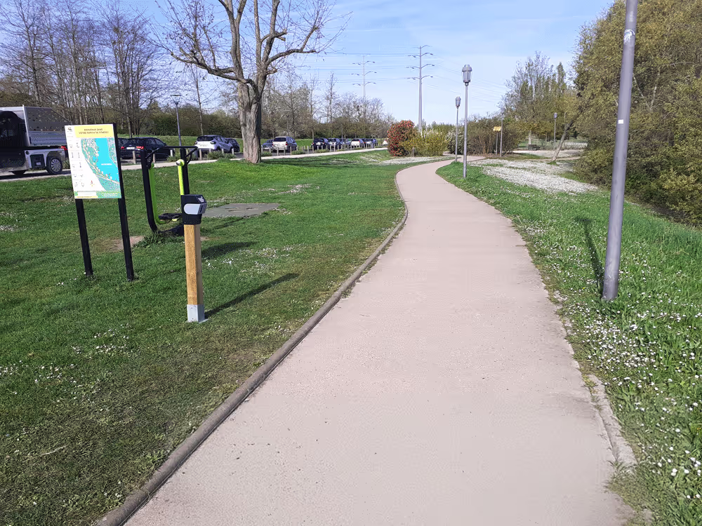
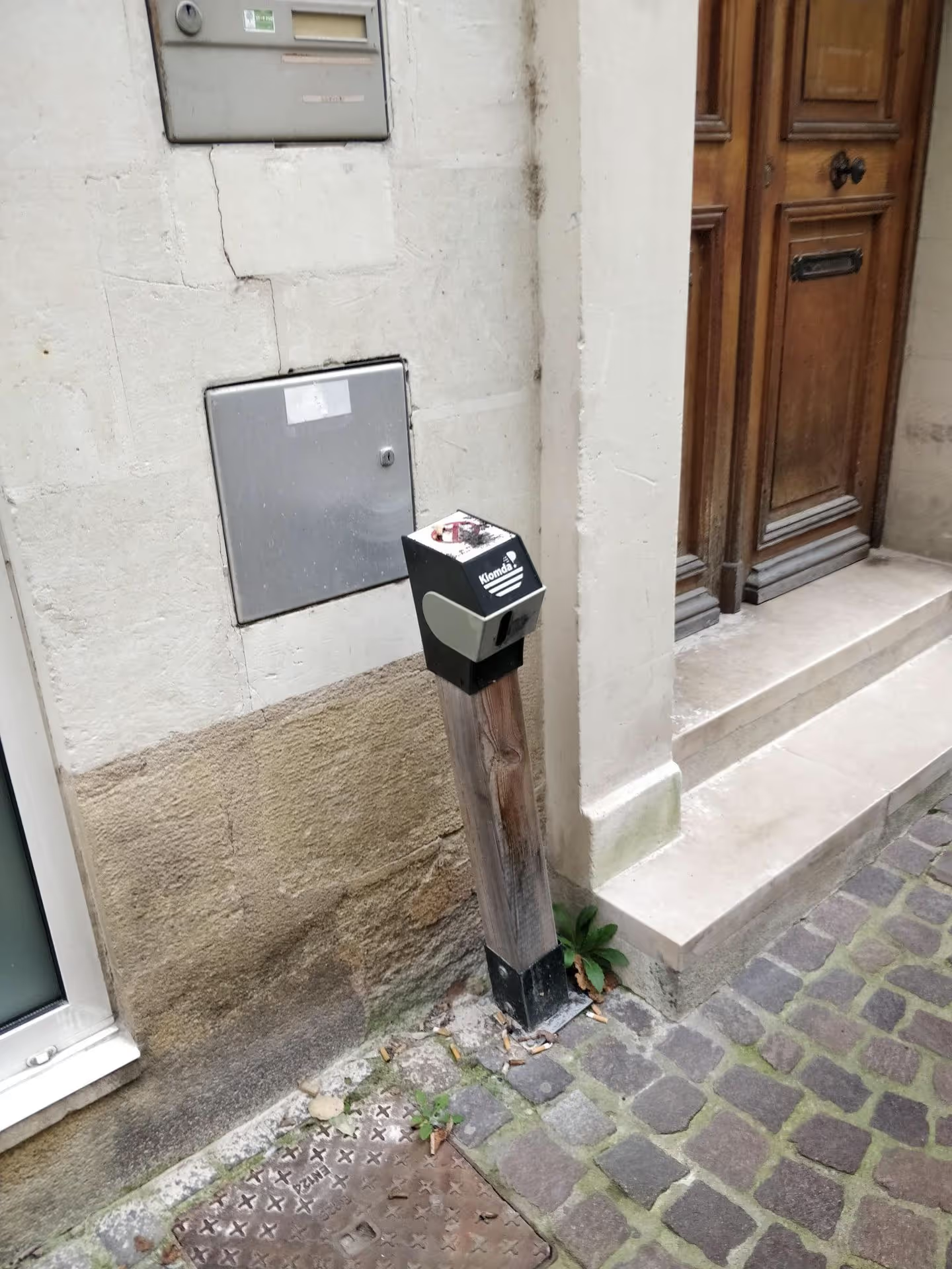
At Kimoda, we offer sensors Autonomous, discreet and non-intrusive, without the need for electricity or a wired network.
Our solutions are designed for poorly developed sites or in the middle of nature.

🟢 Available options:

  • Pedestrian, Cyclist, or Mixed Counting
  • Bi-directional counting
  • Housing in a Hollowed Wooden Post or a Discreet Cover
  • Solar power supply (new in 2025) To Eliminate the Need for Battery Maintenance
  • Visualization on smartphone or web interface

🟢 Accessible data:

  • 15 min intervals, data updated twice a day
  • Automatic Excel or PDF export
  • Cartographic monitoring of equipped points

4. Concrete Use Cases

Community of Municipalities Sèvre & Loire

Follow-up on a 400 km trail, with evaluation of the wear and tear of the facilities and identification of educational sites.

Vezere Valley (CC Valley of Man)

Instrumentation of several sections of greenway, in connection with Flow Bicycle. Objective: tourist use and home-work analysis.

PETR of the Pays de la Déodatie (Vosges)

Count on 5 tourist sites. Data used to refine a management plan and document overcrowding.

5. Installation best practices

  • Reduce the passage width to 1.5 m to 2 m If possible, to make counting more reliable
  • Avoid Crowding Areas : parking, benches, establishment entrances...
  • Orient the lens towards a stable background that is not thermally disturbed
  • Protect hardware In case of exposed sites (anti-vandalism cover, secure fixing)
  • Provide a visual checkpoint : Photographs of the Flow for Punctual Validation

Conclusion

Instrumenting a path or a greenway cannot be improvised, but it is an accessible and valuable approach to better understand your territory. The collected data reinforces the quality of decisions, protects sensitive sites and makes it possible to concretely value the use of soft mobility or leisure infrastructures.

Are you still hesitating about technical feasibility?
We support you in the study of the premises, the choice of locations and the definition of the adapted configuration.