

English
Each year, local authorities invest billions of euros in infrastructure, facilities and public services. However, a significant part of these decisions are still made on the basis of intuitions, rough estimates, or fragmentary declarative data. This paradox — demanding budgetary rigor while accepting blind management — is not inevitable. It results from identifiable structural causes, which produce concrete consequences on the quality of public investment. Understanding why territories lack data on the real uses of their spaces and equipment is a prerequisite for getting out of this situation.

When a community plans to create a bike path, extend the opening hours of sports facilities or redevelop a public square, the central question should be: How many people are using this space today, and how? This seemingly simple question is rarely answered in a factual way.
Budget arbitrations are based on feedback from agents, petitions from local residents, specific observations during elected visits, or benchmarks borrowed from other territories without verifying their local relevance. These sources are not without value — they capture part of reality — but they do not constitute a solid basis for sizing an investment of several hundred thousand euros.
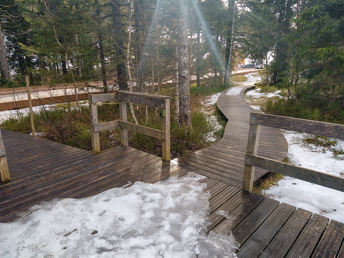
Concrete example: A greenway is considered “very busy” by agents because they regularly encounter people there during their tours. But these tours take place during the week, during the day, in good weather. Winter, nocturnal or off-peak traffic remains invisible. Will the investment in an extension be justified by real use, or only by visible use?
This intuitive logic is not unique to communities. Private companies themselves operated this way for a long time, before the increasing availability of data transformed their decision-making processes. But in the public sector, change is slower. Why?
The first objection to measuring uses is budgetary. Communities, especially small and medium-sized ones, consider measuring the use of a greenway or a natural park to be a luxury that they cannot afford. The reasoning is simple: “We have 50,000 euros to create a layout, why devote 5,000 euros to measuring its future use? ”
This reasoning inverts the logic of investment. Measuring uses is not a cost — it is an insurance against the risk of error. An oversized layout mobilizes funds that could have been allocated elsewhere. An undersized layout generates dissatisfaction and requires subsequent corrective work, which is often more expensive than if the project had been well calibrated from the start.
But this perception of cost as a pure burden remains entrenched. It is reinforced by the fact that the savings achieved through a good measure are invisible — you never know what the avoided error would have cost.
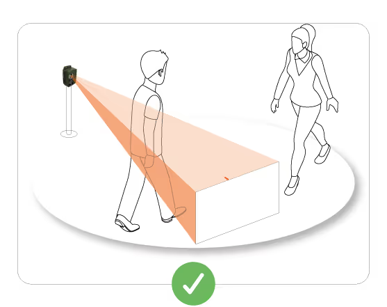
Many territorial decision-makers do not know that reliable, non-intrusive and relatively accessible measurement tools exist. The dominant mental representation still associates attendance measurement with cumbersome devices: cameras with video analysis (RGPD problems), manual counts that are costly in time, or declarative surveys that are long to administer.
Automatic capture technologies — thermal sensors, radars, inductive loops — remain unknown outside of specialized technical services. This lack of knowledge creates an inaction bias: without knowing that a simple solution exists, we give up measuring.
This information deficit is also a training deficit. Training cycles for territorial managers rarely include modules on the measurement of uses or data management. Skills remain concentrated in a few large cities, which have the resources to recruit data profiles or to finance specialized AMO (project management assistance).
Local authorities already have data — but this data is mostly declarative. The gyms operate on reservation schedules. Libraries count registrants and loans. The pools register paid entries. This data structures the offer and allows for minimal management.
But they only capture part of reality. A reserved time slot in a gym is not always busy. A library may be frequented by non-registered users who come to consult on site. A greenway with free access does not generate any declarative data, although it can accommodate hundreds of daily crossings.
The declarative culture creates an illusion of knowledge. We think we know because we have numbers. But these numbers don't measure actual usage—they measure administratively documented use. The gap between the two can be considerable.
Even when communities measure, they often do so in a non-standardized way. One city counts cyclists in a specific location, another counts on another segment, with a different method, for a different period of time. The results are not comparable, which limits the possibility of building national or regional benchmarks.
This lack of common frames of reference discourages measurement. What is the point of measuring if the figures obtained cannot be put into perspective? Regional observatories of active mobility are trying to structure these reports, but they are hampered by the heterogeneity of methods and the absence of continuous data on many territories.
The State and national agencies (ADEME, CEREMA) have started to offer methodological guides, but dissemination remains slow. The subject is not perceived as a priority in the face of budgetary and operational emergencies.
The absence of data on real uses is not just a theoretical problem. It produces measurable effects on the quality of public investment and on the ability of territories to account for their choices.
Without precise knowledge of current attendance and development trends, projects are sized on the basis of hypotheses. These hypotheses may turn out to be right by chance, or false due to a lack of diagnosis.
A relay car park sized for 200 spaces when the real demand is for 80 spaces mobilizes land and funds unnecessarily. On the other hand, a greenway designed for Sunday leisure use that becomes a daily utility axis quickly generates problems of saturation, conflicts of use and premature wear of surfaces.
These mistakes are costly — not only in public money, but also in political credibility. Citizens notice the discrepancies between promises and the reality of use.
The absence of data also leads to budget allocation errors. A territory can invest massively in a poorly used infrastructure, while neglecting a saturated axis because it has not objectified the respective attendance of these two sites.
Decisions are then made on political criteria (media visibility of a project, pressure from a local association, land opportunity) rather than on criteria of efficiency of use. This is not always a bad thing — the political decision has its own legitimacy — but it becomes a problem when the elected representatives themselves do not have the factual elements to arbitrate in full knowledge of the facts.
In a context of strong sensitivity to the use of public money, communities must be able to account for their choices. Participatory budgets, citizen consultations and transparency obligations increasingly require investments to be justified.
Without objective data, this justification becomes fragile. It is based on declarations of intent (“this development will promote soft mobility”) rather than on factual findings (“450 cyclists already use this route every day, and the trend is increasing by 12% per year”). The first formulation is questionable. The second is much less so.
Public funding programmes — AVELO, CRTE, European funds, calls for regional projects — increasingly require attendance data to process applications. Funders want to ensure that supported projects meet real and measurable needs.
A file that cannot demonstrate the current use of an axis or the expected attendance of a future development is in a weak position compared to competing files based on solid figures. This competition between territories to capture limited funding makes the measurement of uses no longer optional, but strategic.
In recent years, a fundamental movement has been taking shape. Pioneering communities that have invested in the measurement of uses are seeing a concrete return on investment: better budget allocation, easier access to financing, strengthened credibility with citizens, ability to manage public policies over the long term.
The evolution of the requirements of funders. ADEME, the regions and the State are increasingly making the award of grants conditional on the production of objective data. This external constraint pushes communities to equip themselves.
The fall in measurement technology costs. Automatic sensors, formerly reserved for large cities, are becoming accessible to medium-sized cities and rural intermunicipalities. Energy autonomy (battery + solar) makes it possible to install measurement points on sites without electrical infrastructure.
The dissemination of a data culture in the public sector. Young generations of territorial managers, trained in data analysis and indicator management, are coming to positions of responsibility. They offer a less intuitive vision, more based on measurement and evaluation.
Inspiring examples. When neighbouring communities demonstrate that they have optimized their investments through measurement, this creates positive mimetic pressure. Elected officials ask themselves: “If they can do it, why can't we? ”
Some cities have systematized the measurement of attendance on their bicycle networks and public spaces. They now have several years of continuous data, which allows them to identify trends, measure the impact of their developments and produce solid impact reports to justify subsequent budgets.
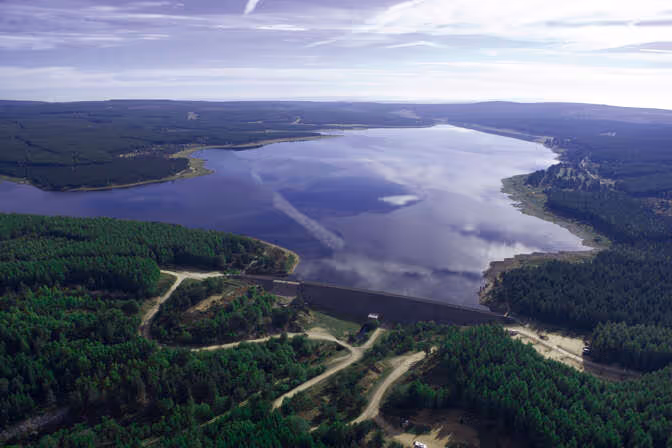
Regional natural parks have deployed sensor networks on their hiking trails to better understand the distribution of flows, identify overused areas and adapt management accordingly. Some have been able to demonstrate that actual attendance was twice as high as initial estimates, which justified budgetary reinforcements for maintenance and hospitality.
Rural intermunicipalities, faced with constrained budgets, have installed a few sensors on strategic axes to objectify investment choices. Even with a modest network (5 to 10 measurement points), they were able to document their funding applications and increase their chances of obtaining grants.
These examples show that measuring uses is not just a matter of resources. First of all, it is a question of political will and conviction that piloting with data produces better decisions.
The lack of data on the uses of public spaces and infrastructures is not inevitable. It is the result of choices — or non-choices — that can be revised. The obstacles identified (perceived cost, lack of knowledge of tools, declarative culture, absence of references) are real, but they are not insurmountable.
Territories that take the plunge quickly find that the measure is not an additional cost, but an investment that improves the quality of all subsequent decisions. It makes it possible to size as accurately as possible, to justify the choices, to obtain funding, to measure the impacts and to manage over the long term.
In a context of increased budgetary constraints, competition between territories for subsidies and citizen transparency requirements, the ability to objectify uses becomes a competitive advantage. Communities that continue to make blind decisions will fall behind those that make the data choice.
So the real problem is not the lack of data. It's the lack of awareness that this lack is a problem — and that there are accessible solutions to solve it.


.svg)